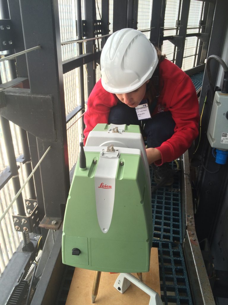
Using 3D scanning to capture the fine details
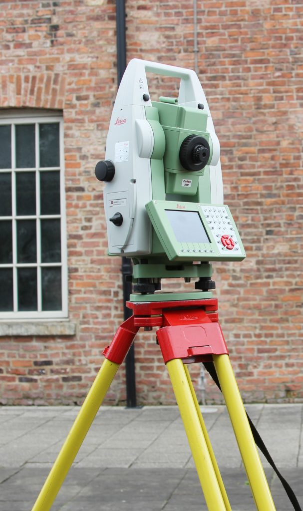
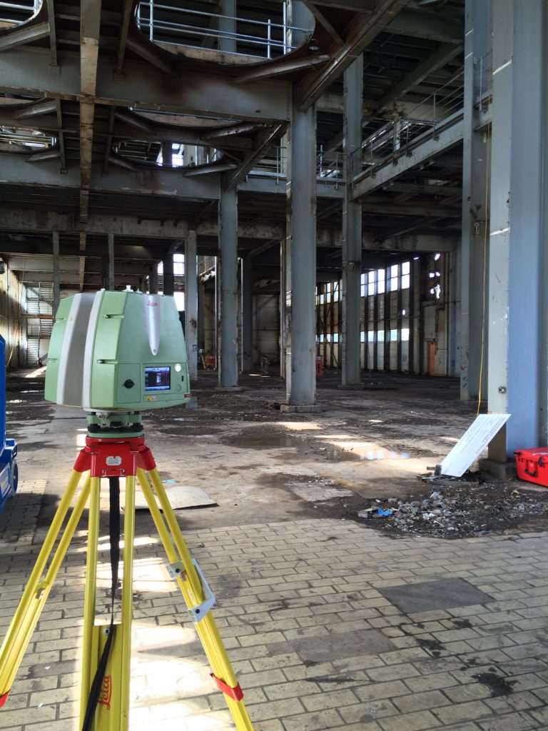
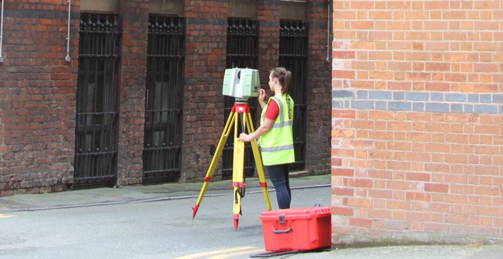
3D Laser Scanning creates an incredibly accurate (within 2mm) computer model of your project by taking millions of points of data. By linking these measurements together, this ‘point cloud’ can then be used to recreate the physical environment in your 3D space.
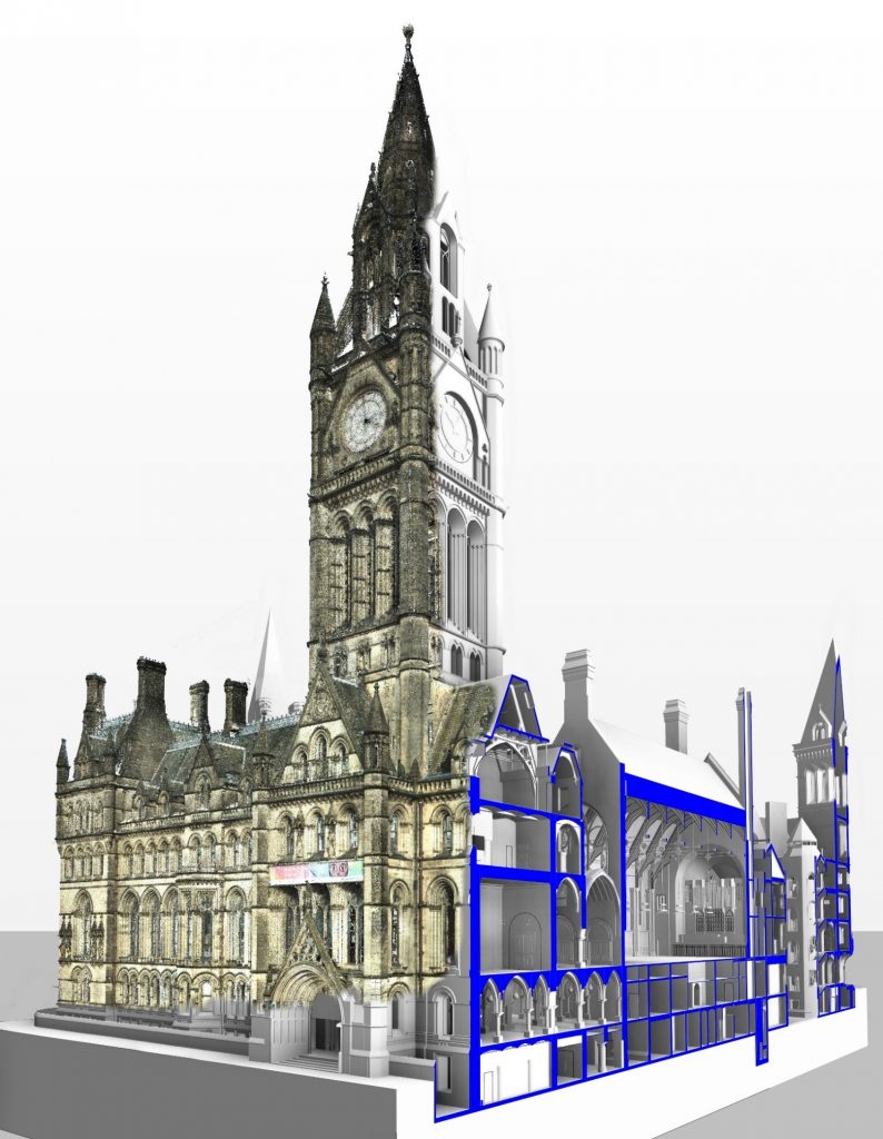
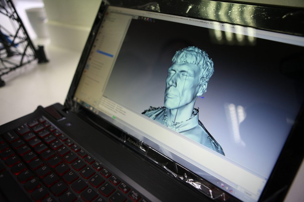
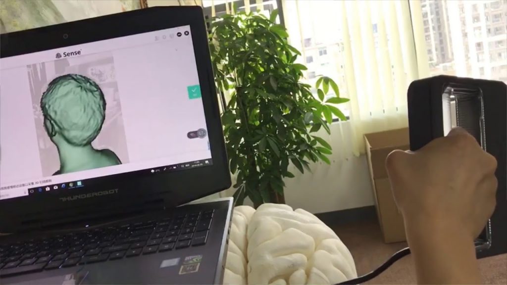
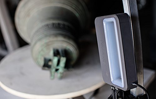
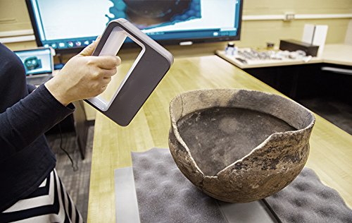
Laser scanning is perfect for large-scale internal and external contextual scans, heritage surveys, site planning, creating animated fly-throughs, reverse engineering, clash detection and as-built verification. We can also use our technology to capture smaller terrestrial objects with our handheld scanners.